There’s a special kind of magic in old photographs of capital cities. Not the “sparkly filter” kindmore like
“wait, that’s the same place where a six-lane roundabout now lives?” kind. Before LED billboards, before
subway maps became abstract art, before “rush hour” turned into a lifestyle, these capitals were built from
stone, soot, horses, and human stubbornness.
This post is a guided “gallery in words” of 49 rare historic photoseach one a snapshot of a
world capital in its pre-modern era. You’ll learn how to read these images like a detective (or at least like
someone who knows a gaslamp when they see one), what changed first, what held on the longest, and why so many
early city photos look strangely empty (spoiler: the camera was basically asking everyone to stand still
forever).
Why Early Capital Photos Feel Like Time Machines
Early photography didn’t just capture buildingsit captured behavior. You can almost hear the city in a
still image: cart wheels on uneven stones, vendors calling out, church bells, and the soft chaos of a place that
hasn’t yet decided cars should be everyone’s entire personality.
Many of the oldest city photographs were made using early processes like daguerreotypes and wet-plate methods.
These techniques produced stunning detail, but they came with tradeoffs: exposures could be long enough that a
busy street might appear oddly “cleared,” because moving people and vehicles blurred into invisibility. So if an
1840s boulevard looks suspiciously calm, it’s not because Parisians suddenly became patientit’s because the
camera demanded a level of stillness that urban life simply refused to provide.
That’s why these images are such great history teachers. They show the before: before modern
transit systems, before skyline competition, before glass towers turned cities into reflective puzzles. The
photos also show the beginning of modernity itselftelegraph poles, early streetcar lines, iron bridges, and
construction scaffolding that hints at the city to come.
How to “Read” a Pre-Modern Capital Photo Like a Historian (Without Needing a Tweed Jacket)
1) Look down first: the street tells the truth
Mud, cobblestones, ruts, and wooden walkways tell you a lot about infrastructure. Paved streets often arrive
later than you’d think, and sidewalks can be inconsistentbecause “urban planning” used to mean “good luck,
ankles.”
2) Scan the edges: signage, shopfronts, and street furniture
Posters, hanging signs, and awnings reveal local commerce and language. Gas lamps suggest a particular era of
nighttime life. Benches and bollards hint at pedestrian design long before “walkability” became a buzzword.
3) Identify the transport hierarchy
Who owns the road in the imagehorses, trams, pedestrians, bicycles, early automobiles? That “pecking order”
shows how a city moved, and who got priority. (Hint: it used to be people. Wild.)
4) Watch the skyline: chimneys, domes, and the “height limit” era
In many capitals, early skylines were dominated by church towers, palace domes, and government buildingsnot
office blocks. When you spot the first big industrial stacks or steel frameworks, you’re watching modernity
arrive in real time.
The 49-Photo Gallery: World Capitals Before Modern Times
Below are 49 “caption-style” entrieseach inspired by real archival photography traditions and common early
views: grand avenues, government buildings, markets, waterfronts, and the everyday streets where history actually
lived. Think of this as a guided museum tour, minus the gift shop pressure.
Europe
-
London, United Kingdom (late 1800s)
A haze-softened street where horse-drawn omnibuses and pedestrians share space with the confidence of people
who have never heard of a “bike lane debate.” -
Paris, France (mid-1800s)
A boulevard that looks calm until you remember exposure timesmoving crowds often vanish, leaving buildings
crisp and the city oddly “paused.” -
Berlin, Germany (late 1800s)
Wide streets, formal facades, and the early “capital look” of empire-era Europemonumental architecture meant
to look permanent, even when politics weren’t. -
Rome, Italy (late 1800s)
A pre-traffic Rome where ruins and daily life share the same frameancient stone in the background, ordinary
errands in the foreground. -
Madrid, Spain (late 1800s)
A plaza scene where shade matters, social life is outdoors, and the streets feel built for conversations more
than commuting. -
Lisbon, Portugal (late 1800s)
Hillside views with rooftops stacked like geometry homework, and waterfront activity that reminds you trade
once wrote the city’s schedule. -
Vienna, Austria (late 1800s)
Grand boulevards, elegant uniforms, and a sense that the city is performing “capital” as a full-time job. -
Prague, Czech Republic (late 1800s)
A river crossing framed by gothic silhouettesan old-world skyline where church spires still win the height
contest. -
Budapest, Hungary (early 1900s)
Danube-side views with bridges like jewelry. The city looks newly confidentmodernizing, but still wearing its
older layers proudly. -
Warsaw, Poland (early 1900s)
Street life and storefronts that feel familiaruntil you notice the absence of cars and the presence of
textures modern pavement erased. -
Stockholm, Sweden (late 1800s)
Waterfront streets where boats are as normal as buses, and the capital feels shaped by water more than
highways. -
Copenhagen, Denmark (late 1800s)
A canal scene with working boats, tidy buildings, and the kind of calm that makes you suspect the photo itself
is breathing slower. -
Oslo, Norway (late 1800s)
A small-city capital vibe: open spaces, modest scale, and architecture that hasn’t yet decided to compete with
the clouds. -
Helsinki, Finland (late 1800s)
Neoclassical lines and wide streetsan emerging capital aesthetic that feels deliberate, as if someone drafted
it carefully on a ruler. -
Dublin, Ireland (late 1800s)
Brick buildings, busy streets, and a public life that gathers where the roads meetbecause that’s where the
news travels fastest. -
Amsterdam, Netherlands (late 1800s)
Canal houses standing like patient witnesses. Boats and bicycles (early versions!) hint that the city’s
movement culture was never going to be purely car-based. -
Brussels, Belgium (late 1800s)
Formal squares and civic buildings designed to say, “We are organized,” even if the pigeons remain
unconvinced. -
Bern, Switzerland (late 1800s)
A compact capital scene: stone arcades, clean lines, and a sense that the city is built for walkingbecause it
is. -
Athens, Greece (late 1800s)
Marble, dust, sunlight, and ruins in the backgroundproof that ancient history doesn’t sit in a museum; it
sits behind your daily errands. -
Kyiv, Ukraine (early 1900s)
A city of slopes and domes, where churches and civic buildings define the skyline long before modern towers
arrive.
The Americas
-
Washington, D.C., USA (mid-to-late 1800s)
A capital still “becoming” itselfgrand buildings, big intentions, and streets that look more like
construction-adjacent suggestions than finished infrastructure. -
Ottawa, Canada (late 1800s)
Parliamentary architecture rising above a smaller town feela reminder that some capitals grew into power
rather than arriving fully formed. -
Mexico City, Mexico (late 1800s)
A plaza view where colonial-era geometry meets constant movementvendors, carriages, and public life that uses
streets as living rooms. -
Havana, Cuba (early 1900s)
A waterfront and old streetscape: shaded facades, ironwork, and a city that looks built to handle both sun and
conversation. -
Panama City, Panama (early 1900s)
A strategic crossroads captured in its working clothesports, labor, and buildings shaped by trade and
global-scale engineering. -
Bogotá, Colombia (early 1900s)
High-altitude light, formal streets, and the sense of a capital balancing tradition with modernization one
storefront at a time. -
Caracas, Venezuela (early 1900s)
A city framed by mountains, with older low-rise blocks that feel intimatebefore car culture stretches the
urban footprint outward. -
Lima, Peru (early 1900s)
Colonial architecture and plazas that prioritize gatheringbecause the capital’s heartbeat is often social,
not just governmental. -
Santiago, Chile (early 1900s)
Wide avenues and civic buildings that look designed to lastset against a landscape that quietly insists it’s
the real monument. -
Buenos Aires, Argentina (early 1900s)
A “new world” capital dressing in European stylesgrand boulevards, ornate details, and a city determined to
look cosmopolitan on camera.
Africa
-
Cairo, Egypt (late 1800s)
A river-and-street view where ancient and modern overlapminarets, markets, and the Nile shaping both travel
and imagination. -
Rabat, Morocco (early 1900s)
Fortified edges, bright light, and layered architecturewhere history looks less like a timeline and more
like stacked chapters. -
Algiers, Algeria (early 1900s)
Hillside density and coastal angles. The photo reads like a map: winding older neighborhoods beside newer
planning lines. -
Tunis, Tunisia (early 1900s)
Narrow medina passages meeting wider colonial-era streetsa capital photographed at the seam between city
traditions. -
Tripoli, Libya (early 1900s)
A port-facing scene where trade defines the city’s posturewarehouses, waterfront streets, and open horizons. -
Addis Ababa, Ethiopia (early 1900s)
An evolving capital where ceremonial spaces and everyday life share the same streetsmodern forms arriving in
a city with deep identity. -
Nairobi, Kenya (early 1900s)
A relatively “newer” capital image: rail-linked growth, early administrative blocks, and wide open spaces that
later fill in fast. -
Dakar, Senegal (early 1900s)
Coastal light, port activity, and a street scene shaped by shipping schedulesbecause the ocean used to be the
original highway. -
Accra, Ghana (early 1900s)
Markets, low-rise blocks, and a capital captured in motionpublic life clearly not waiting for anyone’s camera
settings.
Asia
-
Ankara, Turkey (early 1900s)
A capital image that feels transitionalolder neighborhoods and new civic ambition, with modernization still
arriving in pieces. -
Tehran, Iran (early 1900s)
Walled city traces, broadening streets, and architecture that hints at both tradition and state-building in
progress. -
Baghdad, Iraq (early 1900s)
River views and dense urban blockswhere commerce and daily routines cluster around water as a lifeline. -
Riyadh, Saudi Arabia (early-to-mid 1900s)
A desert capital before the full glass-and-steel eramore earth tones, more courtyards, and a built
environment tuned to heat. -
New Delhi, India (early-to-mid 1900s)
Wide ceremonial avenues and monumental government buildingsan intentionally “designed” capital look, built to
project authority from day one. -
Kathmandu, Nepal (early 1900s)
Temple-rich streetscapes where craft and religion are architectural facts, not tourist attractions. -
Bangkok, Thailand (late 1800s to early 1900s)
Canal life and palace silhouetteswater routes functioning like streets, with boats doing the job cars haven’t
been hired for yet. -
Tokyo, Japan (late 1800s to early 1900s)
A capital in rapid transformationtraditional wooden streetscapes meeting modern infrastructure as the pace of
change accelerates. -
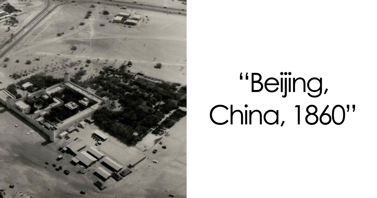
Beijing, China (late 1800s to early 1900s)
Gates, walls, and grand imperial geometryspaces designed for procession and power, photographed just as the
modern world presses in.
Oceania
-
Wellington, New Zealand (late 1800s to early 1900s)
A harbor-focused capital with compact streetspractical, windy, and shaped by the sea more than by skyscraper
dreams.
What These 49 Photos Reveal (Over and Over)
Capitals used to be “human-scale” by default
Many early capital photos show buildings that are impressive without being enormous. Streets are narrower,
blocks are shorter, and the city feels navigable without requiring three transit apps and a personal trainer.
Modern times brought height, speed, and sprawloften in exchange for intimacy.
Water was the original express lane
In capitals with rivers, canals, or ports, water appears everywhere: in transport, in commerce, and in the
layout of neighborhoods. Before highways, waterfronts were where a city met the worldand where you’d find the
loudest, busiest “front door.”
Modernity arrives as clutter first
Before you see skyscrapers, you often see the smaller signals: wires, poles, rails, signs, and street
modifications. Cities don’t flip a switch into the futurethey accumulate it. The “modern look” starts as
layers.
Government buildings double as brand logos
Capitals love architecture that says, “We’re serious.” Palaces, parliament buildings, and ministries often look
overbuilt compared to their surroundingsbecause power wants to be photographed well. Some things never change.
Old photos capture what maps miss: mood
A map can tell you where a boulevard is. A photograph can tell you whether it felt windy, crowded, dusty,
celebratory, tense, or ordinary. That emotional data is why historic capital city photos are so addictive: they
don’t just show placesthey show lives.
of Experiences: How It Feels to Explore Capitals Through Old Photos
If you’ve never done a “then-and-now” capital walk, it’s the closest you can get to time travel without needing
a physics degree or a suspicious glowing suitcase. The experience starts innocently: you find an old photosay,
a government building under construction, or a famous plaza with no traffic lightsand you think, “Huh, neat.”
Then you stand in the same spot today, and your brain does a soft reboot.
The first thing you notice is scale. Modern capitals often feel larger not just because buildings are taller,
but because movement is faster. In old photos, people own the foreground. You’ll see pedestrians lingering,
vendors setting up, kids hovering near the edge of the frame like tiny agents of chaos. Re-creating the photo
today can feel like trying to photograph the same scene while someone keeps fast-forwarding the world. Cars
replace pauses. Sidewalks shrink or widen depending on the era. Crosswalks appear like neat little inventions
that politely announce, “We finally realized you need help surviving this street.”
Then come the details that hit unexpectedly hard: trees that weren’t there, statues that moved, skylines that
rose behind the landmarks like a second city. Sometimes the big monument is unchangedand it’s everything around
it that got swapped out. Other times, the “center” of gravity moved entirely. The old photo shows a market street
that used to be the heart of daily commerce. Today it’s a pedestrian zone full of cafés, souvenir shops, and one
person playing a violin like rent depends on it. (It probably does.)
The most surprising part is how much you start noticing ordinary stuff. Old photos train your eyes to care about
street signs, pavement texture, awnings, fence styles, and the width of curbs. You stop thinking of a capital as
a list of landmarks and start seeing it as a living systemhow people moved, where they gathered, what they sold,
what they wore, and how the built environment encouraged (or discouraged) community.
Want to try it? Pick one capital, find 3–5 historic images from reputable archives, and choose one neighborhood
you can walk. Bring the images on your phone, or print them for maximum “I’m a history detective” energy. Stand
where the original photographer likely stood. Match angles. Observe what stayed and what disappeared. Take your
own photo. By the end, you won’t just feel like you visited a capitalyou’ll feel like you met several versions
of it, shook hands with time, and left with a story your camera can’t fully explain.